


site search
online catalog
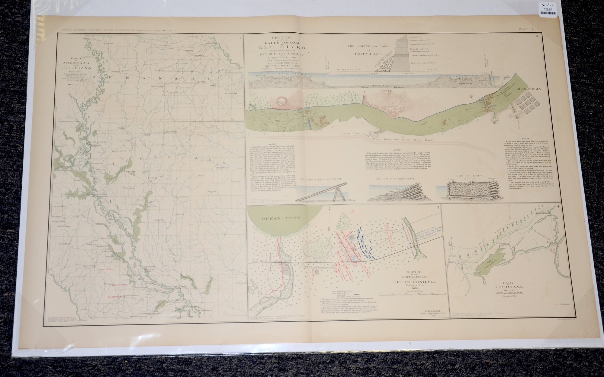
MAP OF RED RIVER, ARKANSAS AND LOUISANA, AND OCEAN POND FLORIDA
$35.00 SOLD
Quantity Available: None
Item Code: L15158

These pages from an official government atlas feature maps of parts of Arkansas and LouisIana, the falls and dams in Red River, and a sketch of Ocean Pond, Florida. The Baylor University Libraries Digital Collection description reads:
Sketch of the battle-field of Ocean Pond, Fla. February 20th 1864 -- Part of Louisiana -- Section including the Falls and Dam in Red River -- Parts of Arkansas and Louisiana
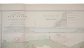
The map is labeled Plate LIII, from the Atlas to Accompany the Official Records of the Union and Confederate Armies from 1861 to 1865, originally published in 1891. The Atlas to Accompany the Official Records of the Union and Confederate Armies (also referred to as the War of the Rebellion Atlas) was published as a companion piece to the Official Records of the American Civil War. It contains maps and other images derived from materials generated by both Union and Confederate military personnel during the American Civil War.
The map measures 29.25” long by 18.5” wide. In good condition with a slight tear in the left corner.
UPS SHIPPING: East of the Mississippi, $15.00; West of the Mississippi, $20.00. Insurance $5.00 additional.
~~~~~~~~~~~~~~~~~~~~~~~~~~~~~~~~~~~
THIS ITEM, AS WITH ALL OTHER ITEMS AVAILABLE ON OUR WEB SITE,
MAY BE PURCHASED THROUGH OUR LAYAWAY PROGRAM.
FOR OUR POLICIES AND TERMS,
CLICK ON ‘CONTACT US’ AT THE TOP OF ANY PAGE ON THE SITE,
THEN ON ‘LAYAWAY POLICY’.
THANK YOU!
Inquire About MAP OF RED RIVER, ARKANSAS AND LOUISANA, AND OCEAN POND FLORIDA
For inquiries, please email us at [email protected]
Most Popular
Historical Firearms Stolen From The National Civil War Museum In Harrisburg, Pa »
Theft From Gravesite Of Gen. John Reynolds »
Cavalry Carbine Sling Swivel »
Fine Condition Brass Infantry Bugle Insignia »
featured item
GETTYSBURG SOUVENIR RELIC DESK SET
Made by John Goode. Mounted on a flat wooden plaque measuring 7 x 4 x .875”, with small dark front sticker label: “Gettysburg / July 1863.” The set contains a small, flower decorated inkwell, 1.25 x 1”, with “crystal” stopper-lid. Flanked… (M24195). Learn More »