


site search
online catalog
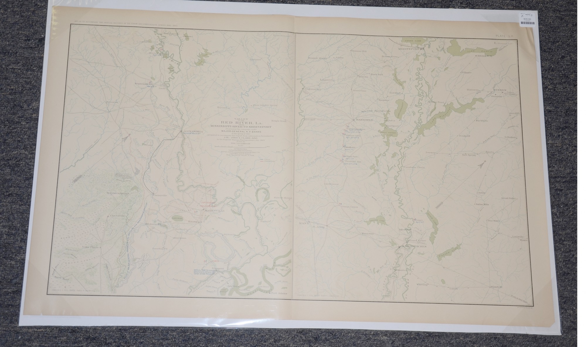
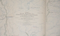
MAP OF VALLEY OF THE RED RIVER LOUISIANA FROM MISSISSIPPI RIVER TO SHREVEPORT
$35.00 SOLD
Quantity Available: None
Item Code: L15157
These pages feature a two part map of the Valley of the Red River in Louisiana from Mississippi River to Shreveport. The Baylor University Libraries Digital Collection description reads:
“Valley of the Red River, La. from Mississippi River to Shreveport -- Valley of the Red River, La. from Mississippi River to Shreveport part 2 -- Created by Von Kamecke”
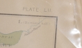
The map is labeled Plate LII, from the Atlas to Accompany the Official Records of the Union and Confederate Armies from 1861 to 1865, originally published in 1891. The Atlas to Accompany the Official Records of the Union and Confederate Armies (also referred to as the War of the Rebellion Atlas) was published as a companion piece to the Official Records of the American Civil War. It contains maps and other images derived from materials generated by both Union and Confederate military personnel during the American Civil War.
The pages measure 29.25” long by 18.5” wide. In good condition with a few small chips.
UPS SHIPPING: East of the Mississippi, $15.00; West of the Mississippi, $20.00. Insurance $5.00 additional.
~~~~~~~~~~~~~~~~~~~~~~~~~~~~~~~~~~~
THIS ITEM, AS WITH ALL OTHER ITEMS AVAILABLE ON OUR WEB SITE,
MAY BE PURCHASED THROUGH OUR LAYAWAY PROGRAM.
FOR OUR POLICIES AND TERMS,
CLICK ON ‘CONTACT US’ AT THE TOP OF ANY PAGE ON THE SITE,
THEN ON ‘LAYAWAY POLICY’.
THANK YOU!
Inquire About MAP OF VALLEY OF THE RED RIVER LOUISIANA FROM MISSISSIPPI RIVER TO SHREVEPORT
For inquiries, please email us at [email protected]
Most Popular
Historical Firearms Stolen From The National Civil War Museum In Harrisburg, Pa »
Theft From Gravesite Of Gen. John Reynolds »
Cavalry Carbine Sling Swivel »
Fine Condition Brass Infantry Bugle Insignia »
featured item
UNION CAVALRY GENERAL WILLIAM WELLS’ FIELD BLOUSE: MEDAL OF HONOR FOR GETTYSBURG WHERE HE RODE IN THE LEAD OF FARNSWORTH’S CHARGE; BRIGADE COMMANDER UNDER CUSTER; BLOUSE ACTUALLY WORN IN ONE OF HIS PHOTOS
This coat is the epitome of a Civil War Union general’s field uniform, a blouse following the popular sack coat pattern of the period, looking somewhat like an enlisted man’s fatigue blouse and suitable for campaign wear, but with a double row of… (1179-281). Learn More »