


site search
online catalog
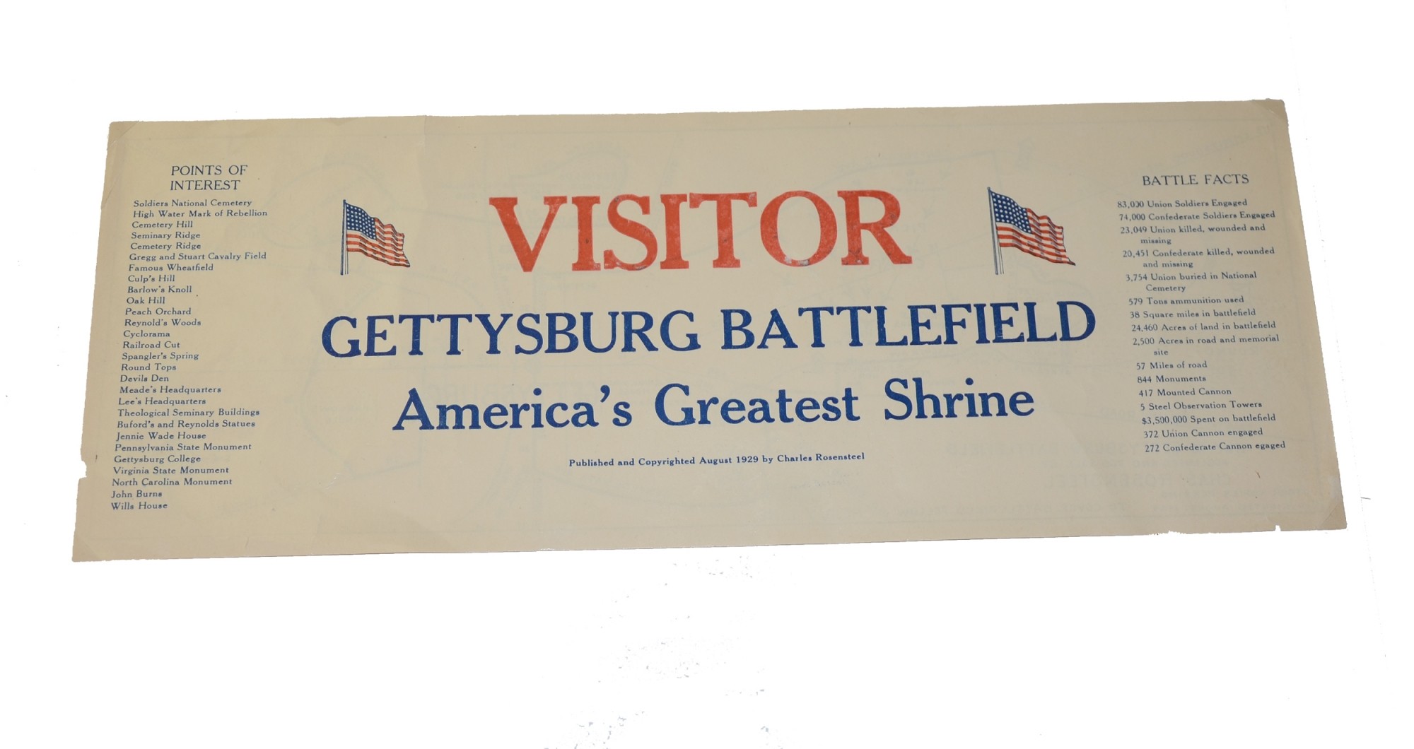
ROSENSTEEL’S 1929 GETTYSBURG BATTLEFIELD VISITOR’S MAP
$39.50 SOLD
Quantity Available: None
Item Code: 635-154
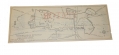
This is a battlefield tourist’s map with points of interest and battle statistics. Published in 1929 by Charles Rosensteel. This paper sheet measures 5 ½” x 14 ½”. The front is printed in red and blue, featuring two American flags, while the map on the back is printed in black.
Condition is very good with only minor chips on edges and two ½” tears. Some ink bleed-through from original printing. No folds, no dirty smudges. A colorful and attractive souvenir. [jet]
Priority Mail or UPS ground shipping only.
~~~~~~~~~~~~~~~~~~~~~~~~~~~~~~~~~~~
THIS ITEM, AS WITH ALL OTHER ITEMS AVAILABLE ON OUR WEB SITE,
MAY BE PURCHASED THROUGH OUR LAYAWAY PROGRAM.
FOR OUR POLICIES AND TERMS,
CLICK ON ‘CONTACT US’ AT THE TOP OF ANY PAGE ON THE SITE,
THEN ON ‘LAYAWAY POLICY’.
THANK YOU!
Inquire About ROSENSTEEL’S 1929 GETTYSBURG BATTLEFIELD VISITOR’S MAP
For inquiries, please email us at [email protected]
Most Popular
Historical Firearms Stolen From The National Civil War Museum In Harrisburg, Pa »
Theft From Gravesite Of Gen. John Reynolds »
Cavalry Carbine Sling Swivel »
Fine Condition Brass Infantry Bugle Insignia »
featured item
THE NORFOLK LIGHT ARTILLERY BLUES! IMPRESSIVE HALF PLATE DAGUERREOTYPE BY WHITEHURST IN A WONDERFUL WHITEHURST CASE
This image is not only mounted with a Whitehurst marked mat, but has a full thermoplastic figural case with a purple velvet facing pad embossed with a large eagle flourishing a ribbon reading “J.H. Whitehurst” and holding a shield or plaque with… (1138-1799). Learn More »