


site search
online catalog
EARLY GETTYSBURG MAP
$65.00 SOLD
Quantity Available: None
Item Code: 801-383
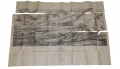
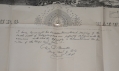


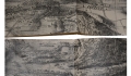
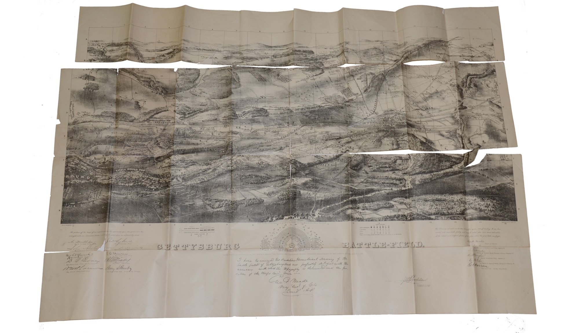
Folding lithograph map of the Gettysburg battlefield with the troop positions labeled at their location. Below map is a plan for the Soldier’s National Cemetery and a statement by General Meade that reads, “I HAVE EXAMINED COL. BACHELOER’S HISTORICAL DRAWING OF THE BATTLE FIELD OF GETTYSBURG AND AM PERFECTLY SATIFIED WITH THE ACCURACY WITH WHICH THE TOPOGRAPHY IS DELIVERED AND POSITION OF THE TROOPS LAID DOWN. GEO. G. MEADE, MAJ. GENL. OF VOLS CMDR A.P.”
Map measures X 35 ½”. Edges are lightly worn with some small tears and surface dirt is present. Map is split at several of the fold creases. Very fragile.
This is a nice, vintage Gettysburg souvenir. [sm]
~~~~~~~~~~~~~~~~~~~~~~~~~~~~~~~~~~~
THIS ITEM, AS WITH ALL OTHER ITEMS AVAILABLE ON OUR WEB SITE,
MAY BE PURCHASED THROUGH OUR LAYAWAY PROGRAM.
FOR OUR POLICIES AND TERMS,
CLICK ON ‘CONTACT US’ AT THE TOP OF ANY PAGE ON THE SITE,
THEN ON ‘LAYAWAY POLICY’.
THANK YOU!
Inquire About EARLY GETTYSBURG MAP
For inquiries, please email us at [email protected]
Most Popular
Historical Firearms Stolen From The National Civil War Museum In Harrisburg, Pa »
Theft From Gravesite Of Gen. John Reynolds »
Cavalry Carbine Sling Swivel »
Fine Condition Brass Infantry Bugle Insignia »
featured item
THE ONLY KNOWN WIDMANN 1840 CAVALRY OFFICER’S SABER: DATED 1844
This is a unique opportunity to acquire a one-of-a-kind U.S. cavalry officer’s saber. Frederick W. Widmann emigrated to the U.S. in 1816 and set up business in Philadelphia as a die-sinker and sword-mounter using imported sword blades by 1825.… (870-279). Learn More »