


site search
online catalog
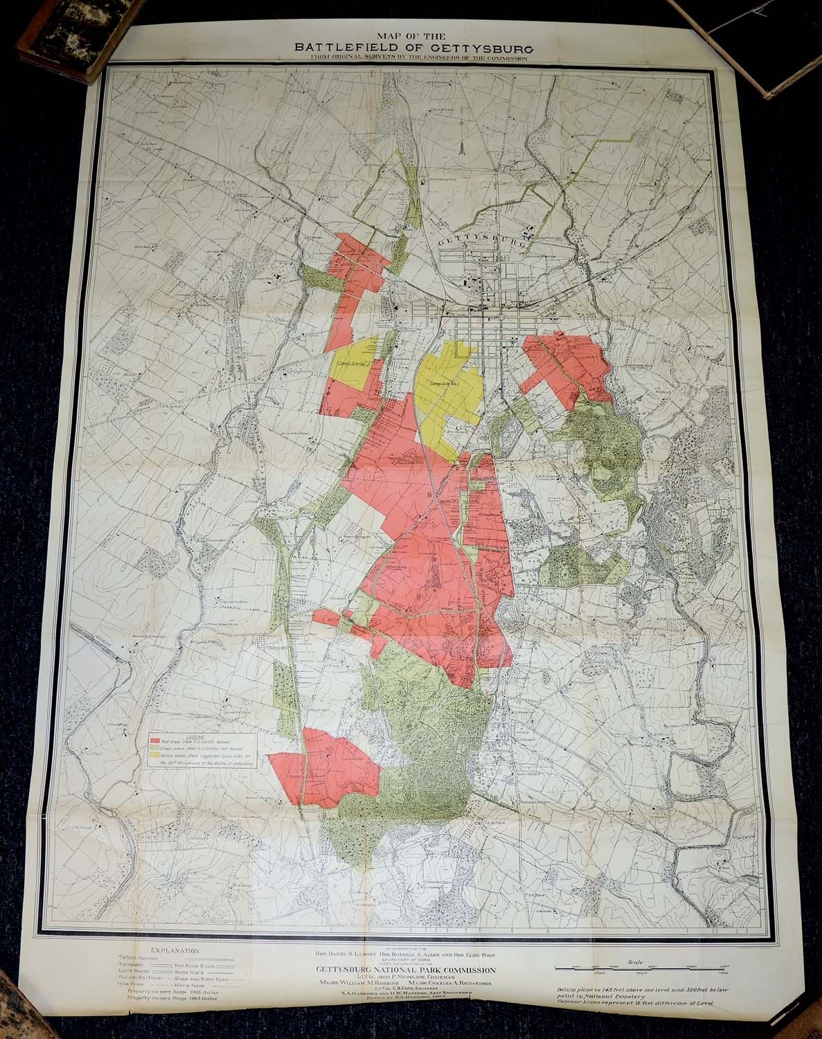
1903 MAP OF THE GETTYSBURG BATTLEFIELD - PLANNING FOR 1913 REUNION
$450.00 SOLD
Quantity Available: None
Item Code: 635-250


This large map was originally folded and issued as part of a booklet describing the plans for the 50th Anniversary Reunion of the battle of Gettysburg in 1913.
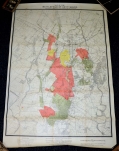
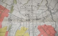
Map meas. approx. 35.00 inches wide x 51.50 inches long. It covers the entire battlefield and the town as well as battlefield avenues and monuments. Elevations are also marked by contour lines. Areas of the map are shaded green for US owned lands, red for US owned land leased to farmers and two yellow areas showing the projected sites of the two large camps for veterans for the planned reunion.
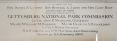
The legend at the bottom lists the park and reunion commissioners as well as the 1903 date of the map and states that it was drawn by S. A. Hammond.
Map comes rolled around a tube for safe storage. There are fold lines due to the way map was originally issued and there is some minor surface dirt but nothing that detracts. One edge fold has a half inch separation. [ad]
Extra shipping required - $35.00 insured UPS ground east of the Mississippi, $60.00 west of the Mississippi.
~~~~~~~~~~~~~~~~~~~~~~~~~~~~~~~~~~~
THIS ITEM, AS WITH ALL OTHER ITEMS AVAILABLE ON OUR WEB SITE,
MAY BE PURCHASED THROUGH OUR LAYAWAY PROGRAM.
FOR OUR POLICIES AND TERMS,
CLICK ON ‘CONTACT US’ AT THE TOP OF ANY PAGE ON THE SITE,
THEN ON ‘LAYAWAY POLICY’.
THANK YOU!
Inquire About 1903 MAP OF THE GETTYSBURG BATTLEFIELD - PLANNING FOR 1913 REUNION
For inquiries, please email us at [email protected]
Most Popular
Historical Firearms Stolen From The National Civil War Museum In Harrisburg, Pa »
Theft From Gravesite Of Gen. John Reynolds »
Cavalry Carbine Sling Swivel »
Fine Condition Brass Infantry Bugle Insignia »
featured item
CONFEDERATE FIRST NATIONAL FLAG FROM ISLAND NUMBER TEN
This Confederate First National flag has a tight provenance going back to 1935, and before that an oral history as a war souvenir brought back from Island Number Ten by James William McLaughlin, a prominent Cincinnati architect who in 1861 had served… (1179-004). Learn More »