


site search
online catalog
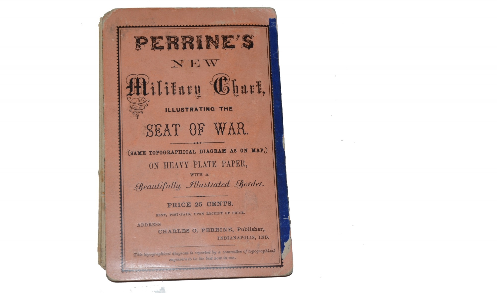
1862 DATED FOLDING MAP OF THE WAR BY PERRINE’S
$95.00 SOLD
Quantity Available: None
Item Code: 668-73

Folded this map meas. approx. 3.50 x 5.50 inches. The folded map is attached to an orange card with a blue edge. The card reads “PERRINE’S NEW MILITARY CHART ILLUSTRATING THE SEAT OF WAR (SAME TOPOGRAPHICAL DIAGRAM AS ON MAP) ON HEAVY PLATE PAPER, WITH A BEAUTIFULLY ILLUSTRATED BORDER.”
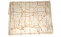
Unfolding the map must be done carefully as what they call “heavy plate paper” feels almost like what we call rice paper. When unfolded the map shows the entire area of operations from west of the Mississippi River to the east coast. The opened map meas. approx. 29.50 inches wide x 14.50 inches long.
Map obviously has several vertical and horizontal fold lines as well as some tears along these lines. Map should be displayed either open or closed but not be continually handled.
These maps were popular items during the war. [ad]
~~~~~~~~~~~~~~~~~~~~~~~~~~~~~~~~~~~
THIS ITEM, AS WITH ALL OTHER ITEMS AVAILABLE ON OUR WEB SITE,
MAY BE PURCHASED THROUGH OUR LAYAWAY PROGRAM.
FOR OUR POLICIES AND TERMS,
CLICK ON ‘CONTACT US’ AT THE TOP OF ANY PAGE ON THE SITE,
THEN ON ‘LAYAWAY POLICY’.
THANK YOU!
Inquire About 1862 DATED FOLDING MAP OF THE WAR BY PERRINE’S
For inquiries, please email us at [email protected]
Most Popular
Historical Firearms Stolen From The National Civil War Museum In Harrisburg, Pa »
Theft From Gravesite Of Gen. John Reynolds »
Cavalry Carbine Sling Swivel »
Fine Condition Brass Infantry Bugle Insignia »
featured item
REGIMENTAL STANDARD OF MERRILL’S HORSE, 2ND MISSOURI CAVALRY
Formerly in the collections of the Texas Civil War Museum, this historic flag was carried by Merrill’s Horse, the 2nd Missouri Cavalry, raised under the authority of Gen. John C. Fremont, commanding the Western Department out of St. Louis. Fremont… (1179-031). Learn More »