


site search
online catalog
1904 ATLAS OF THE BATTLE OF ANTIETAM
Hover to zoom


$3,000.00
Originally $3,500.00
Quantity Available: 1
Item Code: 10-1952
Shipping: Determined by Method & Location of buyer
To Order:
Call 717-334-0347,
Fax 717-334-5016, or E-mail
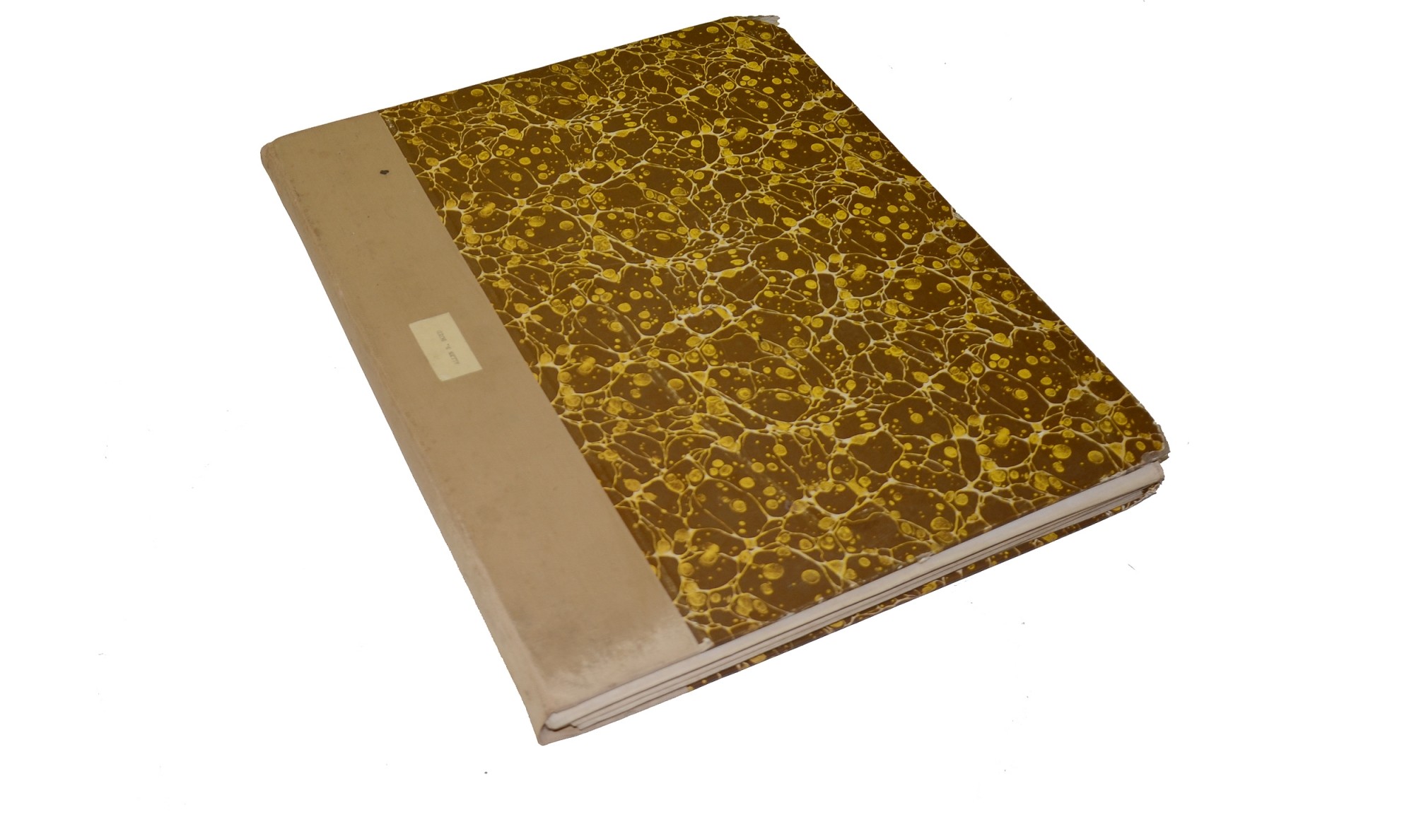
This set of 14 maps comes in a hardcover folder that meas. approx. 14.25 x 17.50 inches. The exterior of the folder has a marbled decoration while the inside has the following:
ATLAS OF THE BATTLEFIELD OF ANTIETAM
PREPARED UNDER THE DIRECTION OF THE
ANTIETAM BATTLEFIELD BOARD
LIEUT. COL. GEO. W. DAVIS, U.S.A. PRESIDENT
GEN. E. A. CARMAN, U.S.V.
GEN. H. HETH, C.S.A.
SURVEYED BY
LIEUT. COL. E. B. COPE, ENGINEER
H. W. MATTERN, ASSISTANT ENGINEER
OF THE GETTYSBURG NATIONAL MILITARY PARK
The rest of the information goes on to state that the maps were drawn by Charles Ourand and that they were commissioned by the Secretary of War in 1904.
Each of the 14 maps is full color and they are very similar in style and detail to the maps as drawn in the atlas to accompany the Official Records. Each map meas. approx. 27.50 x 33.25 inches when opened. All of the 14 maps have been separated along their fold seams and mounted on a canvas backing ensuring their strength. The back side of each map has a small numbered label at top center and a smaller label with the time period the map covers. All but one of the maps also has a small label with the name of the former owner “ALLEN R. BOYD.” This name also appears on a label inside the hardcover folder. Nothing is known about this former owner.
The maps cover the following time periods
MAP 1. DAYBREAK
MAP 2. 6:00-6:20 A.M.
MAP 3. 6:45-7:00 A.M.
MAP 4. 7:20 A.M.
MAP 5. 7:30 A.M.
MAP 6. 8:00 A.M.
MAP 7. 8:30-8:40 A.M.
MAP 8. 9:00-9:30 A.M.
MAP 9. 10:30 A.M.
MAP 10. 12:00-12:15 P.M.
MAP 11. 1:00 P.M.
MAP 12. 3:30-3:45 P.M.
MAP 13. 4:20 P.M.
MAP 14. 5:30 P.M.
Each of the maps shows the appropriate position of the units engaged during the time indicated and uses notes to relay any information that may not be contained on the map itself.
As for condition, all the maps are in good shape. All colors are bright and all text and landmarks are visible. Some of the maps have light discoloration along the fold lines and edges but nothing that detracts from the quality. The hardcover folder has bumped corners with at least one being slightly curled otherwise it is in good condition.
This is a rare and fantastic set of maps to have in a complete set.
~~~~~~~~~~~~~~~~~~~~~~~~~~~~~~~~~~~
THIS ITEM, AS WITH ALL OTHER ITEMS AVAILABLE ON OUR WEB SITE,
MAY BE PURCHASED THROUGH OUR LAYAWAY PROGRAM.
FOR OUR POLICIES AND TERMS,
CLICK ON ‘CONTACT US’ AT THE TOP OF ANY PAGE ON THE SITE,
THEN ON ‘LAYAWAY POLICY’.
THANK YOU!
Inquire About 1904 ATLAS OF THE BATTLE OF ANTIETAM
Most Popular
Historical Firearms Stolen From The National Civil War Museum In Harrisburg, Pa »
Theft From Gravesite Of Gen. John Reynolds »
Selection Of Unframed Prints By Don Troiani »
Fine Condition Brass Infantry Bugle Insignia »
featured item
AN IDENTIFIED GETTYSBURG PICKED-UP RICHMOND RIFLE-MUSKET
This is very good example of a Richmond rifle-musket that was made in 1863. It has the beveled "low-hump" lock plate introduced in the spring of 1862. It has the desirable brass butt plate and nose cap; the iron barrel bands are all Richmond made… (1268-076). Learn More »