


site search
online catalog
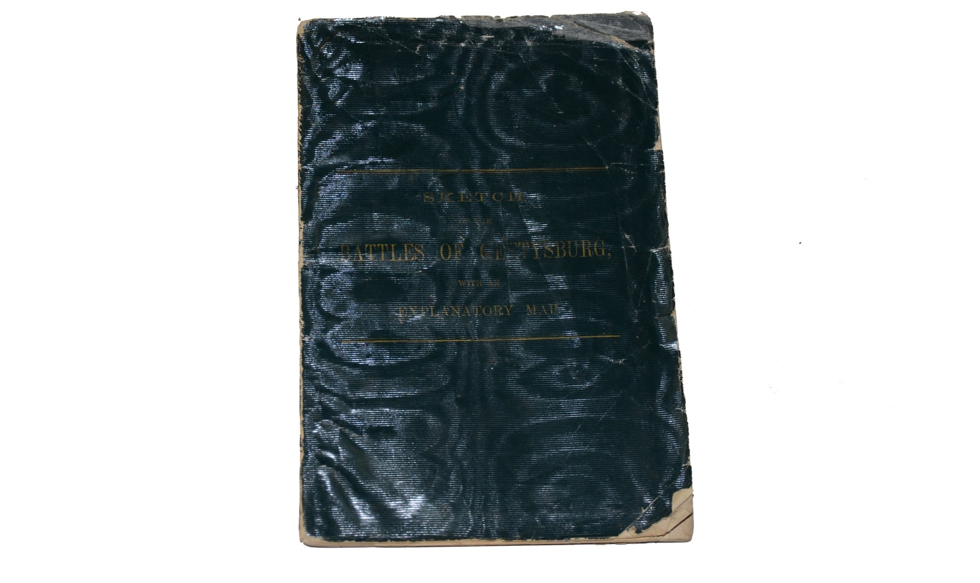
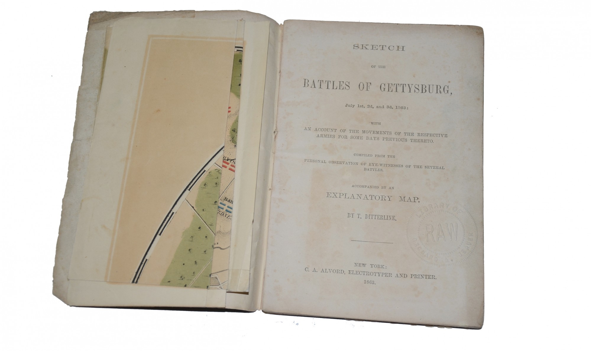
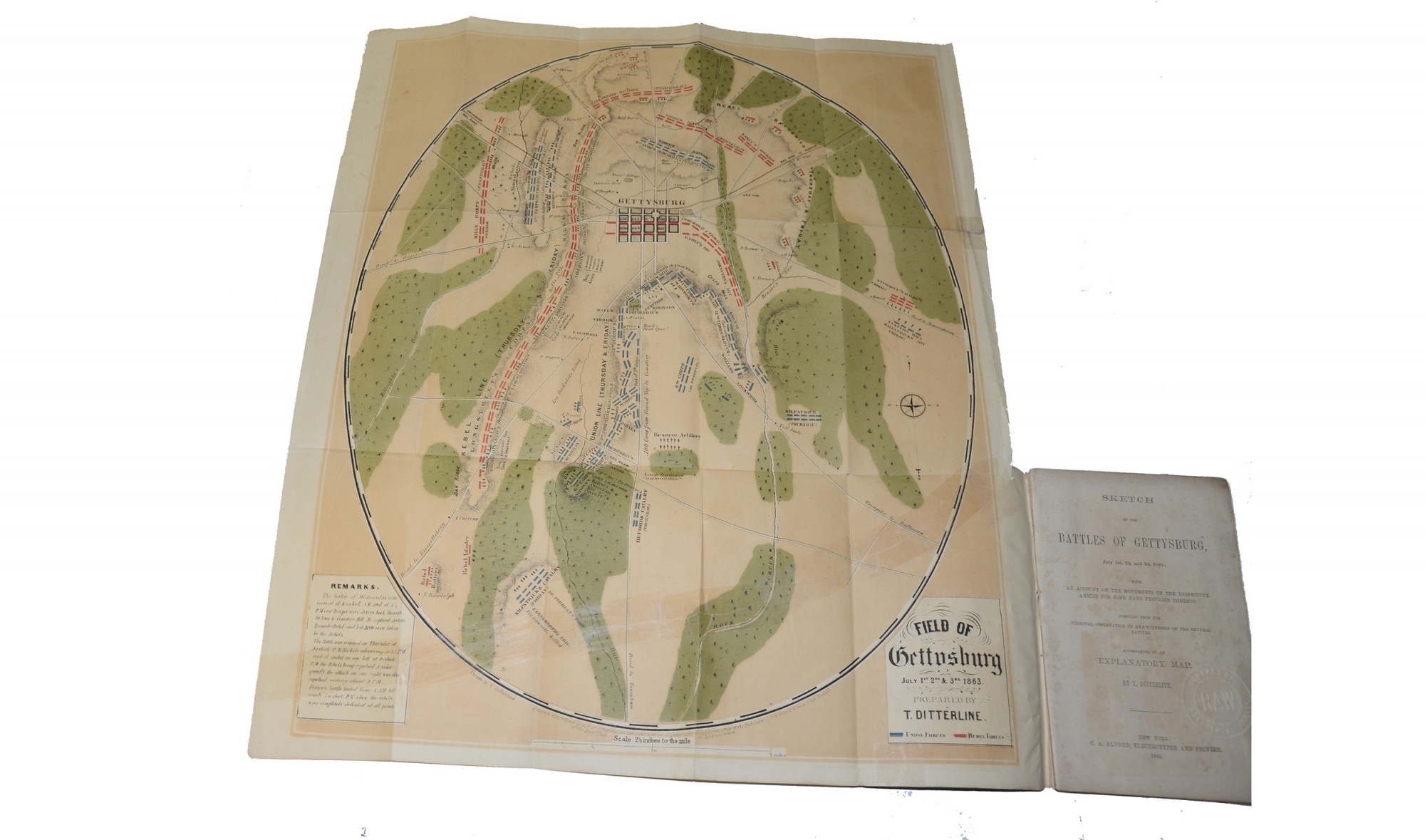
SKETCH OF THE BATTLES OF GETTYSBURG WITH AN EXPLANATORY MAP, BY T. DITTERLINE, 1863
Hover to zoom

$500.00 SOLD
Quantity Available: None
Item Code: 897-196
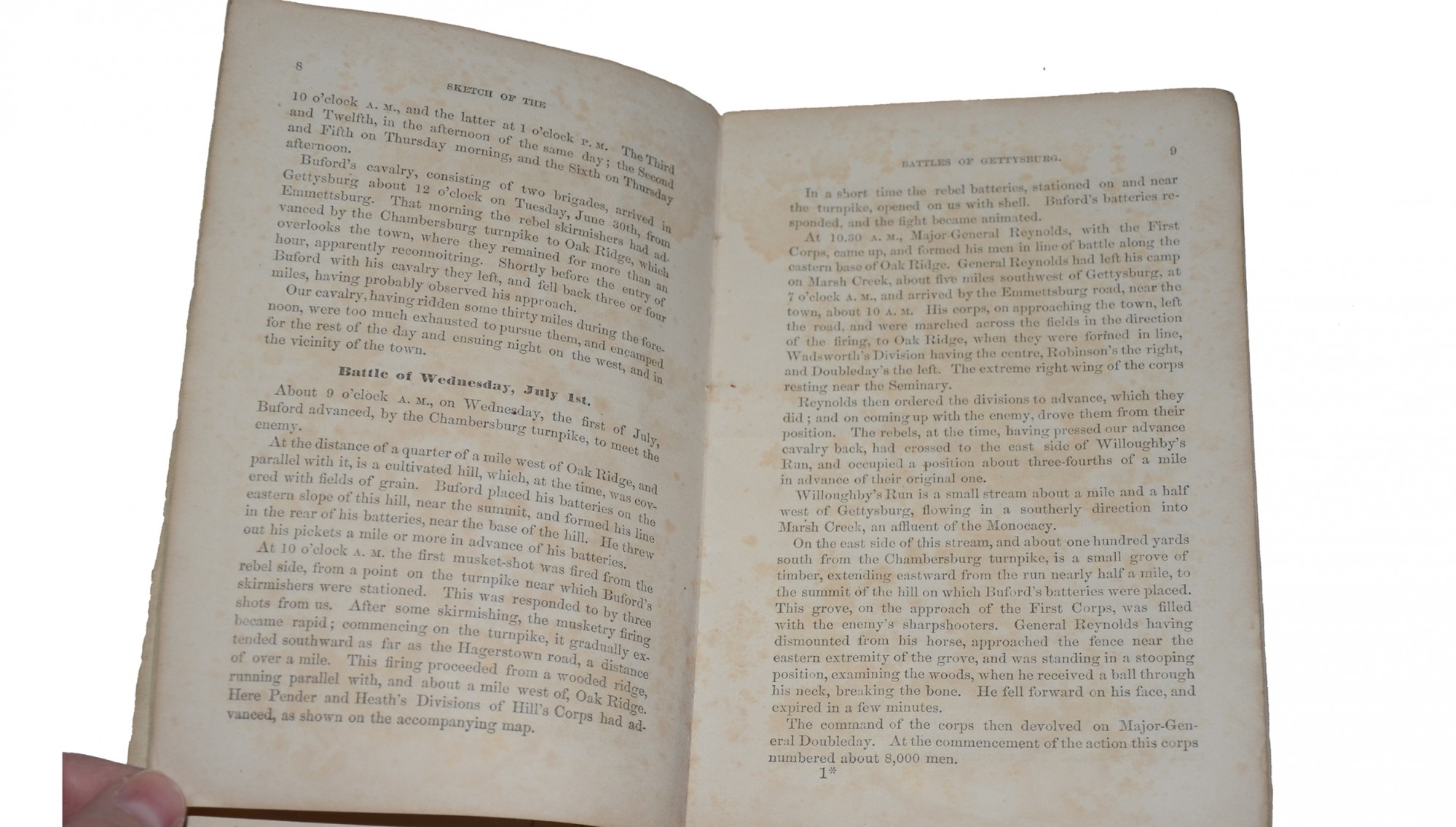
Original 1863 first edition, published only a few months after the battle, and considered the first map of the battlefield. Title page states, “An account of the movements of the respective armies for some days previous thereto. Compiled from the personal observation of eye-witnesses of the several battles". This is regarded as the first published work to document the battle and was issued even before Lincoln delivered his Gettysburg Address.
The map is highly detailed, with Union forces color-outlined in blue, and Confederate forces in red. The map also highlights positions of batteries, corps, divisions and brigades, as well as buildings, commanders, headquarters, roads, drainage, railroads, and terrain.
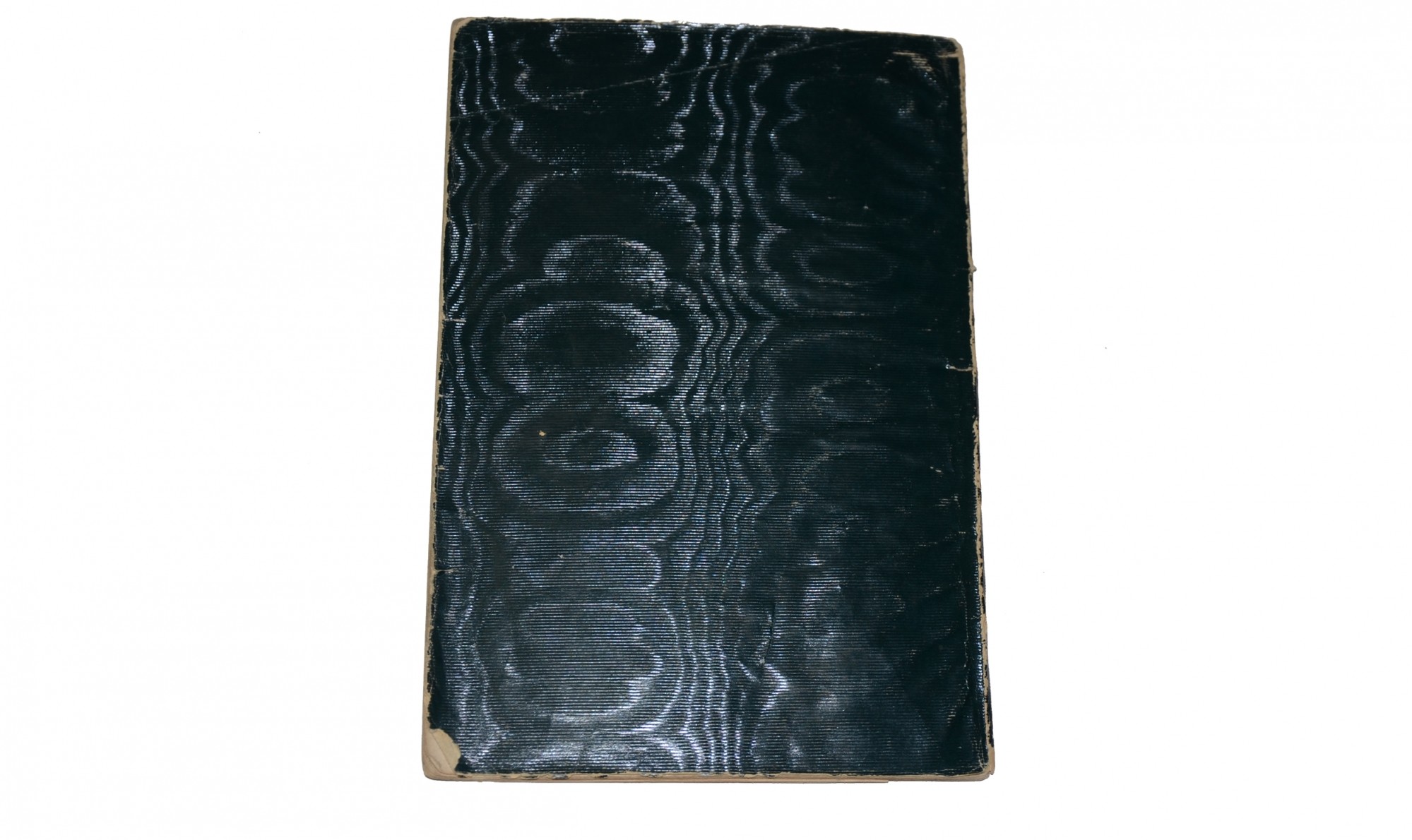
Book measures 4 7/8” x 7 ¼”. Text contains 24 pages, plus fold out map. Cloth cover is distressed on edges. Pages have yellowed with age and are all intact. Binding is tight. Map measures 16 ½” x 19 ¾”. Map is in good condition, although has tears that have been taped by a previous owner. [sm]
~~~~~~~~~~~~~~~~~~~~~~~~~~~~~~~~~~~
THIS ITEM, AS WITH ALL OTHER ITEMS AVAILABLE ON OUR WEB SITE,
MAY BE PURCHASED THROUGH OUR LAYAWAY PROGRAM.
FOR OUR POLICIES AND TERMS,
CLICK ON ‘CONTACT US’ AT THE TOP OF ANY PAGE ON THE SITE,
THEN ON ‘LAYAWAY POLICY’.
THANK YOU!
Inquire About SKETCH OF THE BATTLES OF GETTYSBURG WITH AN EXPLANATORY MAP, BY T. DITTERLINE, 1863
Most Popular
Historical Firearms Stolen From The National Civil War Museum In Harrisburg, Pa »
Theft From Gravesite Of Gen. John Reynolds »
Selection Of Unframed Prints By Don Troiani »
Fine Condition Brass Infantry Bugle Insignia »
featured item
CIVIL WAR MUSICIAN’S GROUPING INCLUDING WARTIME IDENTIFICATION DISK, IDENTIFICATION SHIELD, AND FREEMANTLE ROTARY VALVE CORNET/VALVED BUGLE: JOHN J. WEAVER- 10th and 56th PA- AND CUTLER’S BRIGADE BAND 1861-1865
This wonderful grouping includes two wartime identification badges, a rotary valve cornet dating about 1864, along with his GAR membership badge and veteran’s id badge. To top it off, in addition to prior service in the 10th PA from April 26 to… (1179-420). Learn More »