


site search
online catalog
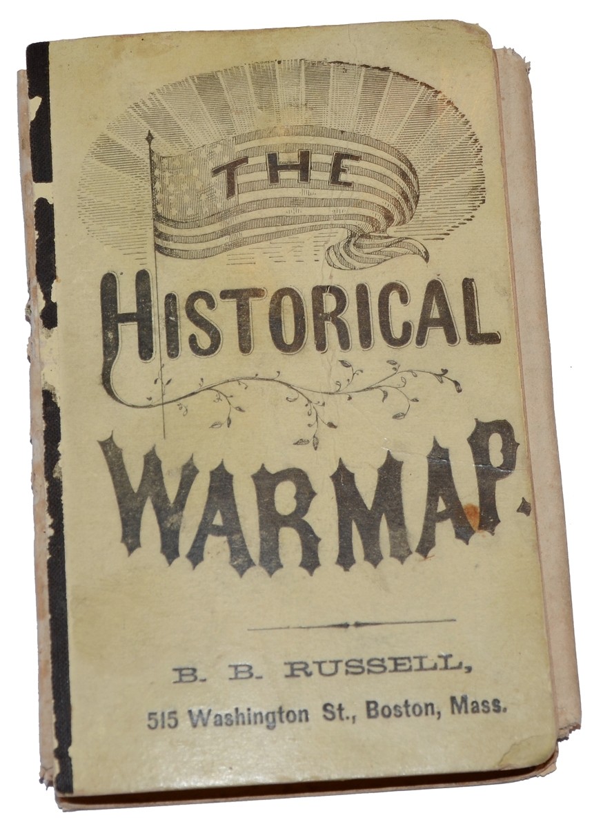
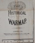
THE HISTORICAL BATTLEFIELD MAP
$135.00 SOLD
Originally $150.00
Quantity Available: None
Item Code: 846-156
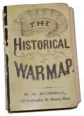
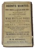
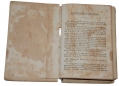
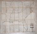
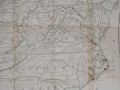

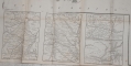
Published by B.B. Russell, Boston, 1863. 72 pp., wraps, 3.625 x 5.375.,” w/ large fldg. map, 25 x 27” {8 segment fold]. This clever little book contains a brisk summary of events, beginning with the 1860 Presidential election, concluding with the 1863 Battles for Chattanooga and the continuing siege of Charleston, SC, through December 8th of that year. The interior black and white map, w/state boundaries in green, is somewhat fragile w/three small tears along its center-most fold. It covers the eastern U.S., including the Gulf states and the entire state of Florida, ranging west to Arkansas and eastern Texas. Containing smaller maps along its lower left margin: North-East Virginia, South-East Virginia, Vicksburg & Vicinity, & Charleston & Vicinity. [Interior map of Richmond & Vicinity within text]. Engagements are noted on the upper map by red circles. Exhibits light exterior wear & rubbing. Text foxed throughout while remaining entirely legible.
A nice collectible. [jp]
~~~~~~~~~~~~~~~~~~~~~~~~~~~~~~~~~~~
THIS ITEM, AS WITH ALL OTHER ITEMS AVAILABLE ON OUR WEB SITE,
MAY BE PURCHASED THROUGH OUR LAYAWAY PROGRAM.
FOR OUR POLICIES AND TERMS,
CLICK ON ‘CONTACT US’ AT THE TOP OF ANY PAGE ON THE SITE,
THEN ON ‘LAYAWAY POLICY’.
THANK YOU!
Inquire About THE HISTORICAL BATTLEFIELD MAP
For inquiries, please email us at [email protected]
Most Popular
Historical Firearms Stolen From The National Civil War Museum In Harrisburg, Pa »
Theft From Gravesite Of Gen. John Reynolds »
Cavalry Carbine Sling Swivel »
Fine Condition Brass Infantry Bugle Insignia »
featured item
CAVALRY OFFICER’S FROCK COAT IDENTIFIED TO CAPT. SAMUEL N. TITUS, 11TH PENNSYLVANIA CAVALRY
This cavalry officer’s frock coat shows some signs of wear, but still rates very good for condition and has a great identification established by a wonderful Baltimore tailor’s tag sewn in one shoulder reading “T. McCORMICK, MERCHANT TAILOR,… (1179-639). Learn More »