


site search
online catalog
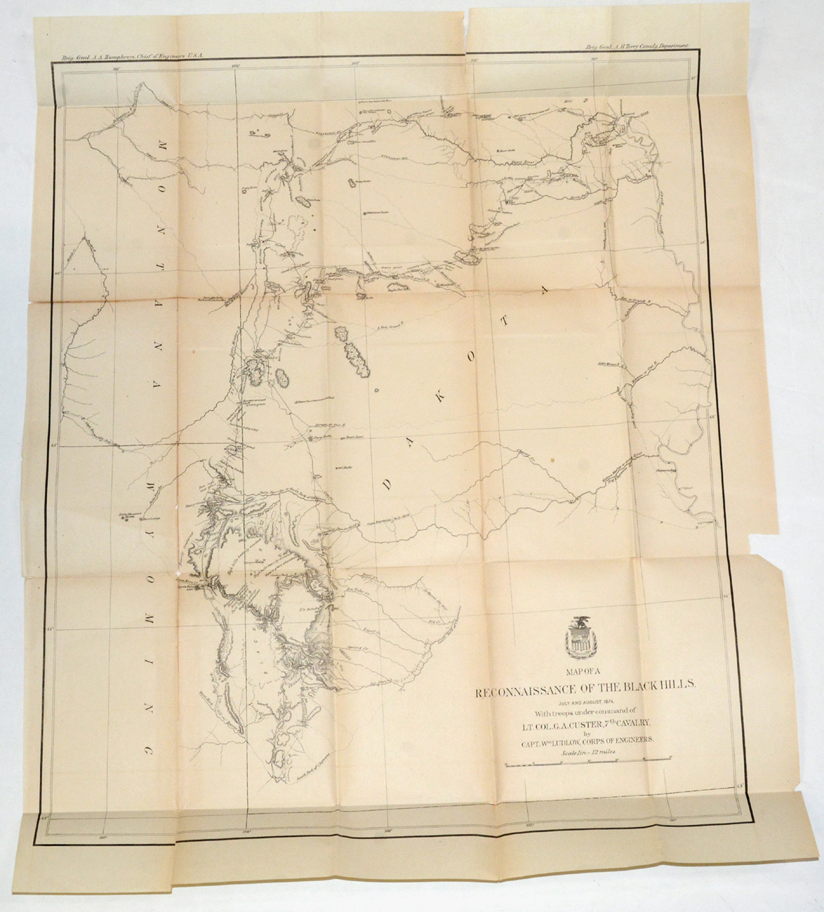
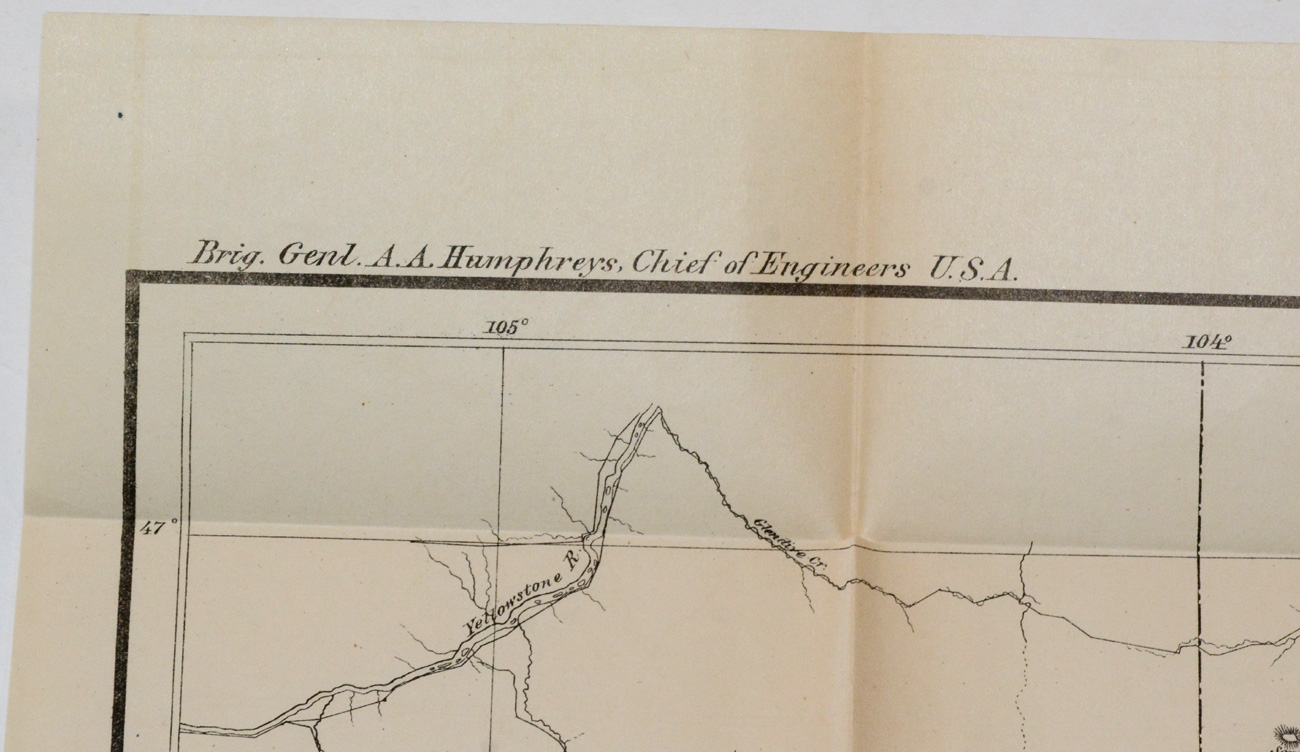
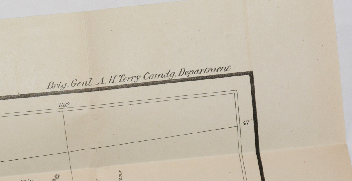
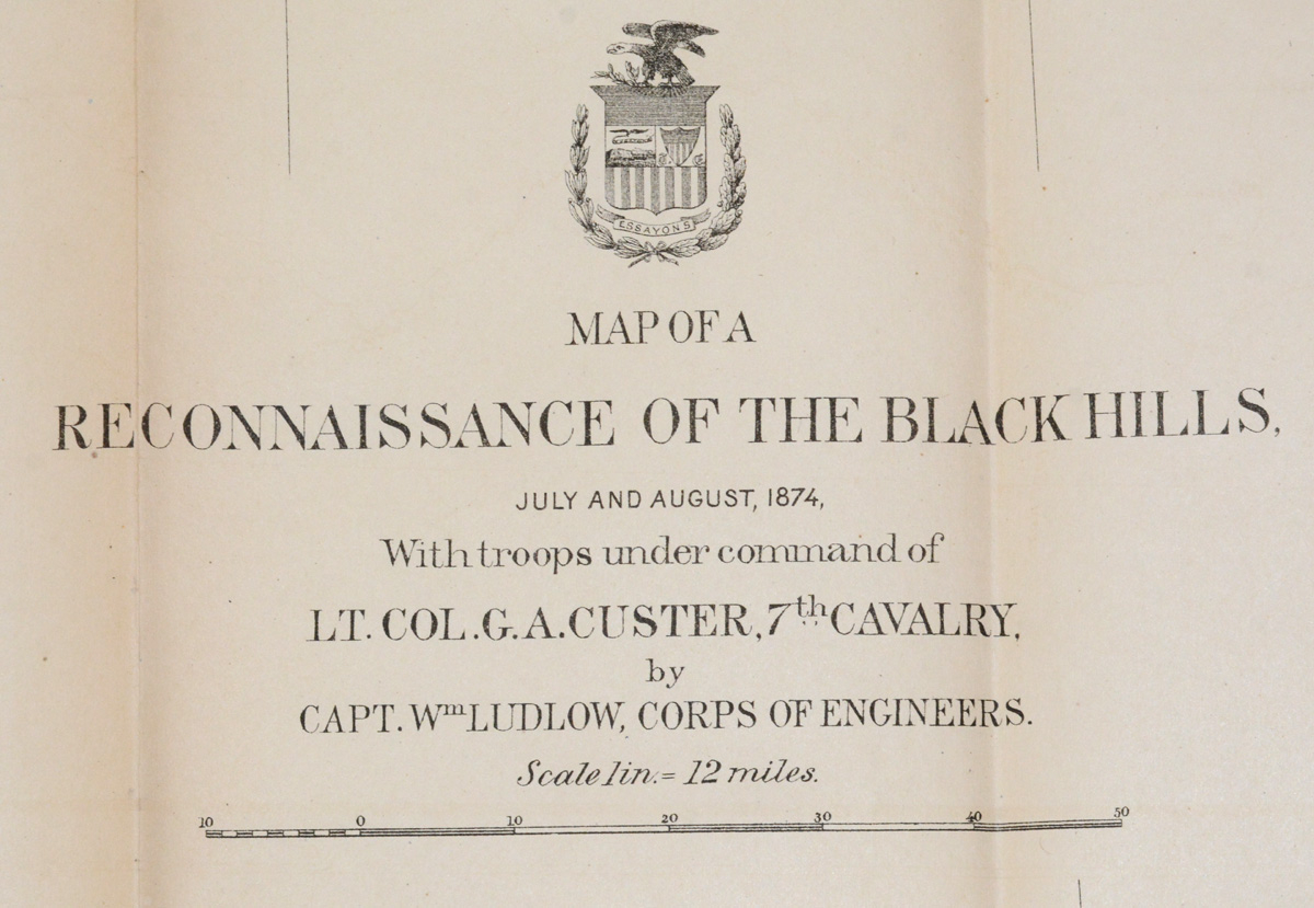
GEORGE CUSTER/ BLACK HILLS, SD—MAP OF A RECONNAISANCE OF THE BLACK HILLS / JULY AND AUGUST, 1874
Hover to zoom
$150.00 SOLD
Quantity Available: None
Item Code: 2021-68
With troops under command of Lt. Col. G.A. Custer, 7th Cavalry, by Capt.. Wm. Ludlow, Corps of Engineers. Scale 1in.—twelve miles. One topographically printed page., in black and white. 32.5 x 28 inches. Exhibits fold-marks & and some cracking along fold-lines. Else VG and highly frameable (with some care). In protective sleeve. [jp [ph:L]
~~~~~~~~~~~~~~~~~~~~~~~~~~~~~~~~~~~
THIS ITEM, AS WITH ALL OTHER ITEMS AVAILABLE ON OUR WEB SITE,
MAY BE PURCHASED THROUGH OUR LAYAWAY PROGRAM.
CLICK HERE FOR OUR POLICIES AND TERMS.
THANK YOU!
Inquire About GEORGE CUSTER/ BLACK HILLS, SD—MAP OF A RECONNAISANCE OF THE BLACK HILLS / JULY AND AUGUST, 1874
Most Popular
Historical Firearms Stolen From The National Civil War Museum In Harrisburg, Pa »
Theft From Gravesite Of Gen. John Reynolds »
Selection Of Unframed Prints By Don Troiani »
Fine Condition Brass Infantry Bugle Insignia »
featured item
CIVIL WAR FIELD GEAR OF BENJAMIN F. GOODWIN, 6th MAINE INFANTRY AND 1st MAINE VET. VOLUNTEERS
This group of Civil War soldier’s field gear was brought home by Maine veteran Benjamin Franklin Goodwin, who served in the 6th Corps in the Army of the Potomac and Army of the Shenandoah from 1862 through 1865. The material descended in the family… (2025-3676). Learn More »