


site search
online catalog
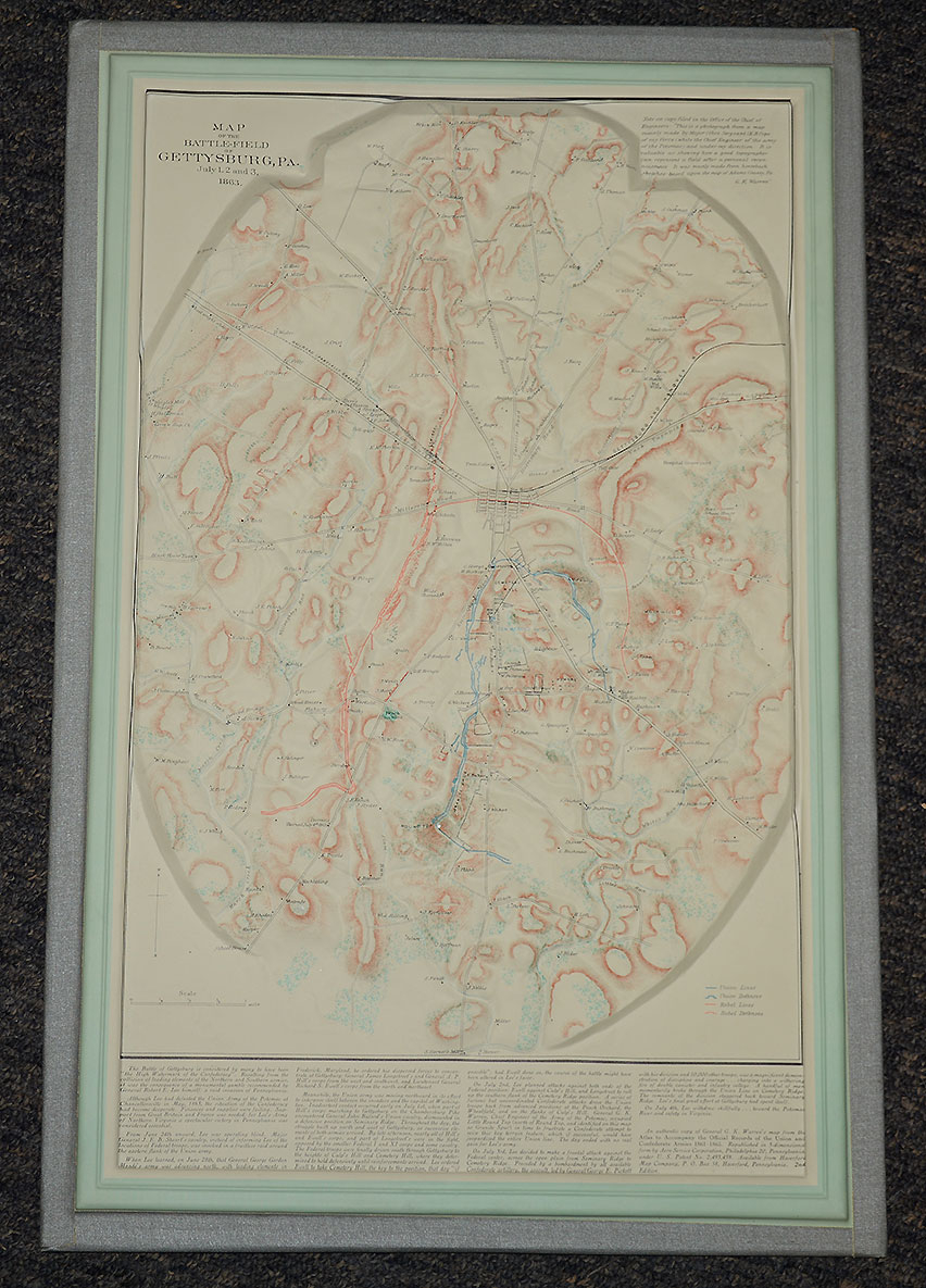
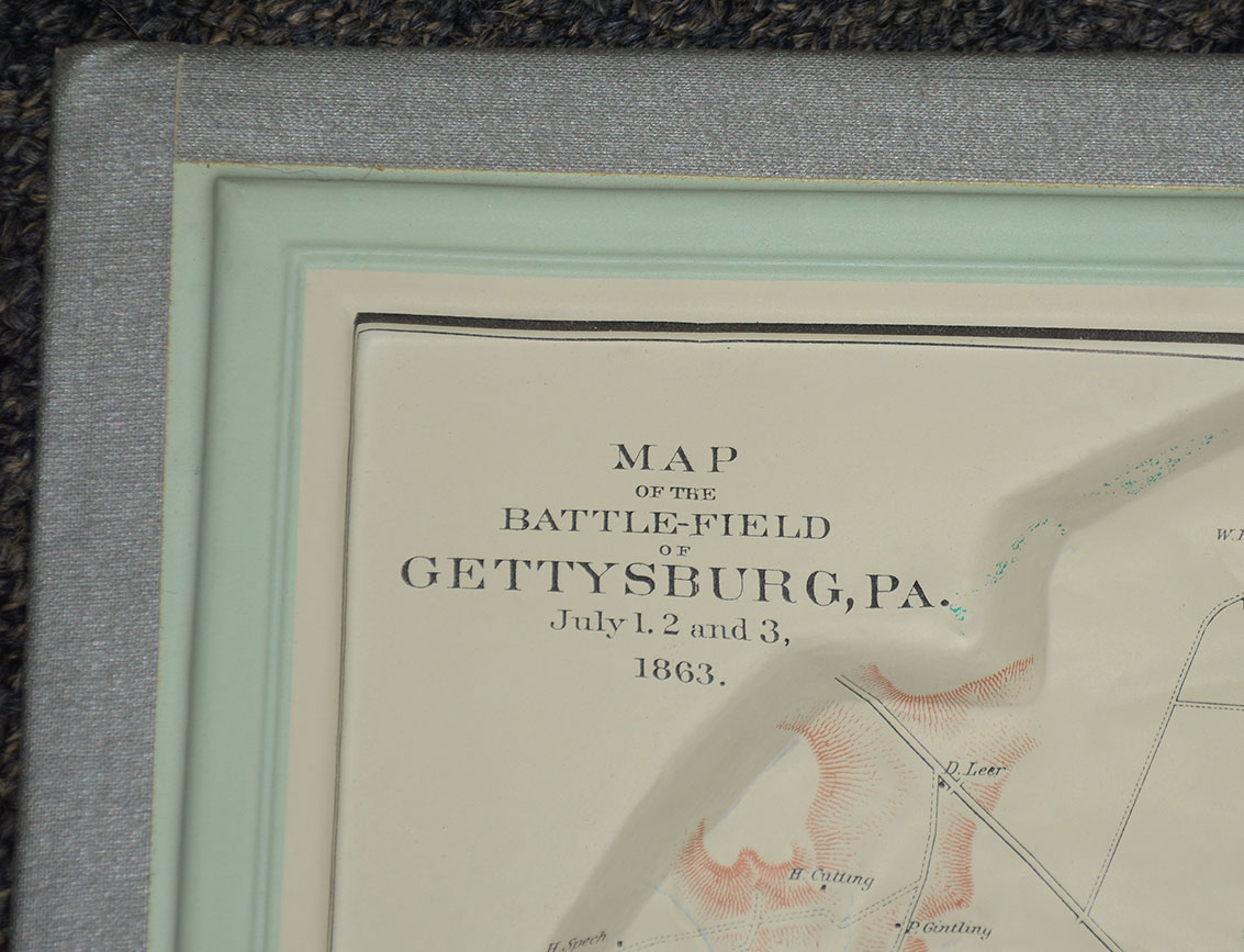
C1950’S TOPOGRAPHICAL RELIEF MAP OF GETTYSBURG
Hover to zoom

$150.00 SOLD
Quantity Available: None
Item Code: 635-551
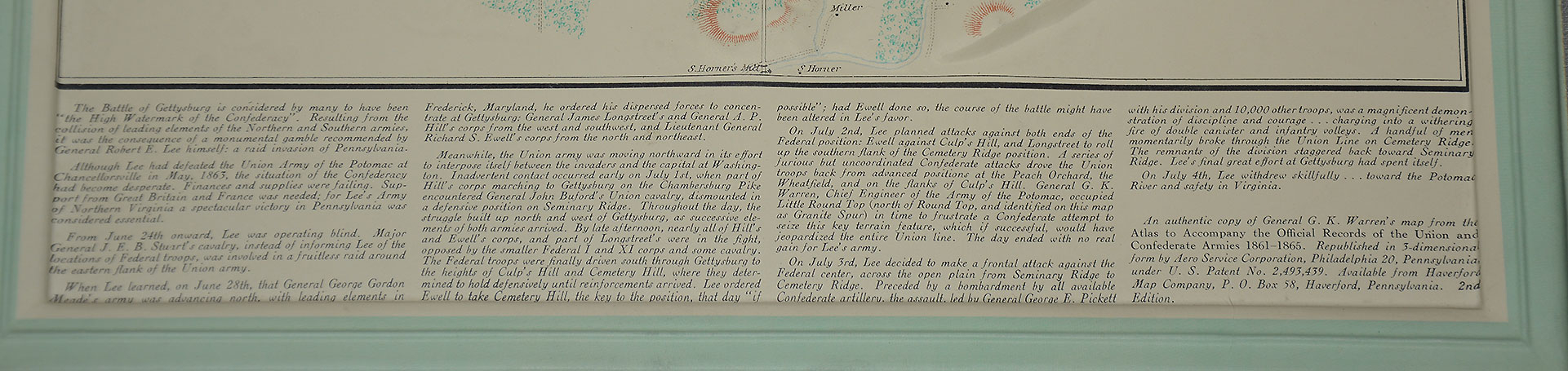
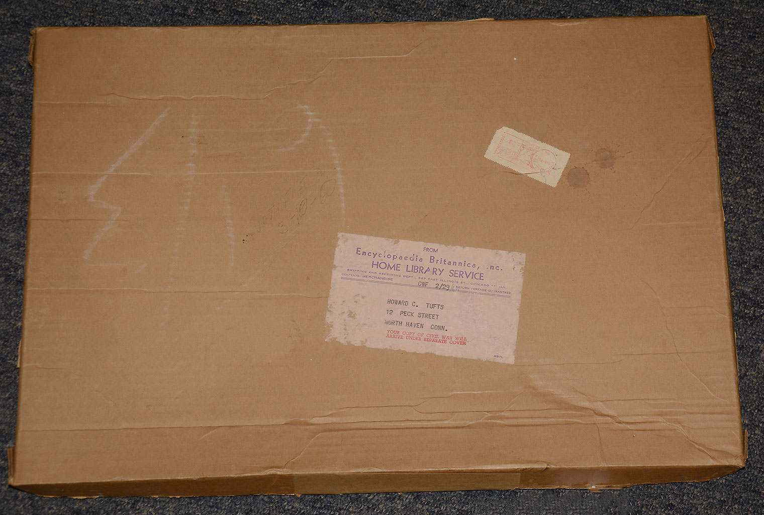
This is a circa 1950s relief map of Gettysburg produced from a copy of General G.K. Warren's map from the Atlas to Accompany the Official Records of the Union and Confederate Armies 1861-1865. This is a very interesting map of the Gettysburg area made of plastic and moulded in relief to show the terrain. Union and Confederate positions are shown in blue and red. All features illustrated including homes, wooded areas, hills, mountains, and roads.
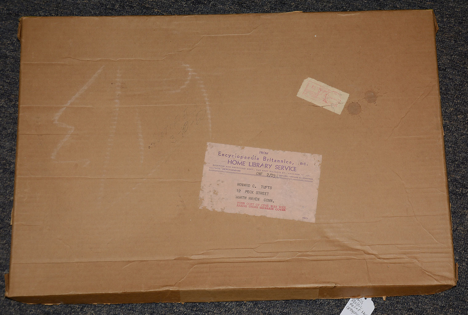
It was republished in 3-dimensional form by Aero Service Corporation, Philadelphia 20, Pennsylvania and sold by the Haverford Map Company. It is a second edition map; it measures 13 ½ x 20 ½”. Overall excellent edition in original mailing box postmarked March 4, 1960; it was purchased from Encyclopedia Britannica Home Library Service. [dm/ld][ph:L]
~~~~~~~~~~~~~~~~~~~~~~~~~~~~~~~~~~~
THIS ITEM, AS WITH ALL OTHER ITEMS AVAILABLE ON OUR WEB SITE,
MAY BE PURCHASED THROUGH OUR LAYAWAY PROGRAM.
CLICK HERE FOR OUR POLICIES AND TERMS.
THANK YOU!
Inquire About C1950’S TOPOGRAPHICAL RELIEF MAP OF GETTYSBURG
Most Popular
Historical Firearms Stolen From The National Civil War Museum In Harrisburg, Pa »
Theft From Gravesite Of Gen. John Reynolds »
Selection Of Unframed Prints By Don Troiani »
Fine Condition Brass Infantry Bugle Insignia »
featured item
RARE 1/6 PLATE AMBROTYPE – LT. JOHN WHITEHEAD, 53rd VA, WIA AND CAPTURED DURING PICKETT’S CHARGE – EX-COCO COLLECTION
The 53rd Virginia Infantry Regiment participated in the Battle of Gettysburg as part of General Armistead's Brigade and played a famous role in Pickett's Charge on July 3, 1863, with some men advancing to the stone wall along the Angle before being… (1300-74). Learn More »