


site search
online catalog
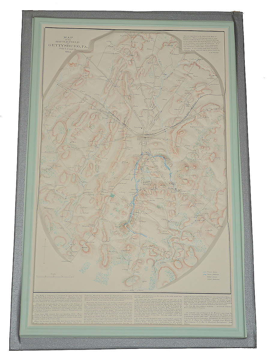
1960 GETTYSBURG BATTLEFIELD 3-D TOPOGRAPHICAL RELIEF MAP
Hover to zoom
$150.00
Quantity Available: 1
Item Code: 635-633
Shipping: Determined by Method & Location of buyer
To Order:
Call 717-334-0347,
Fax 717-334-5016, or E-mail
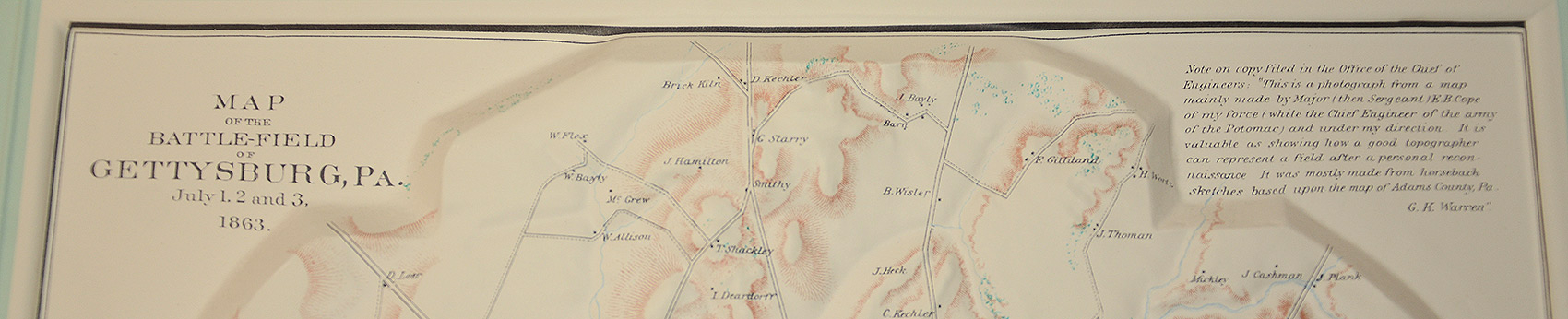
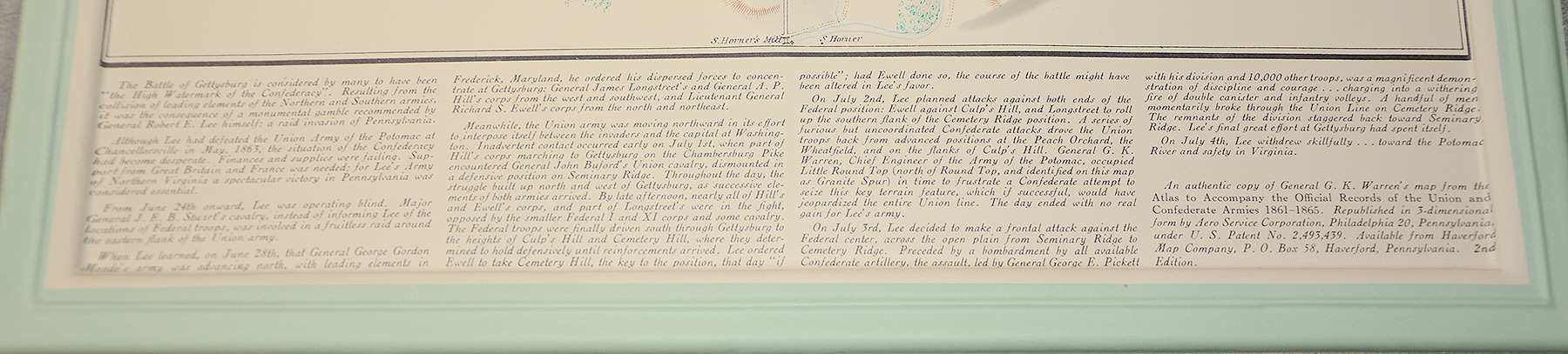
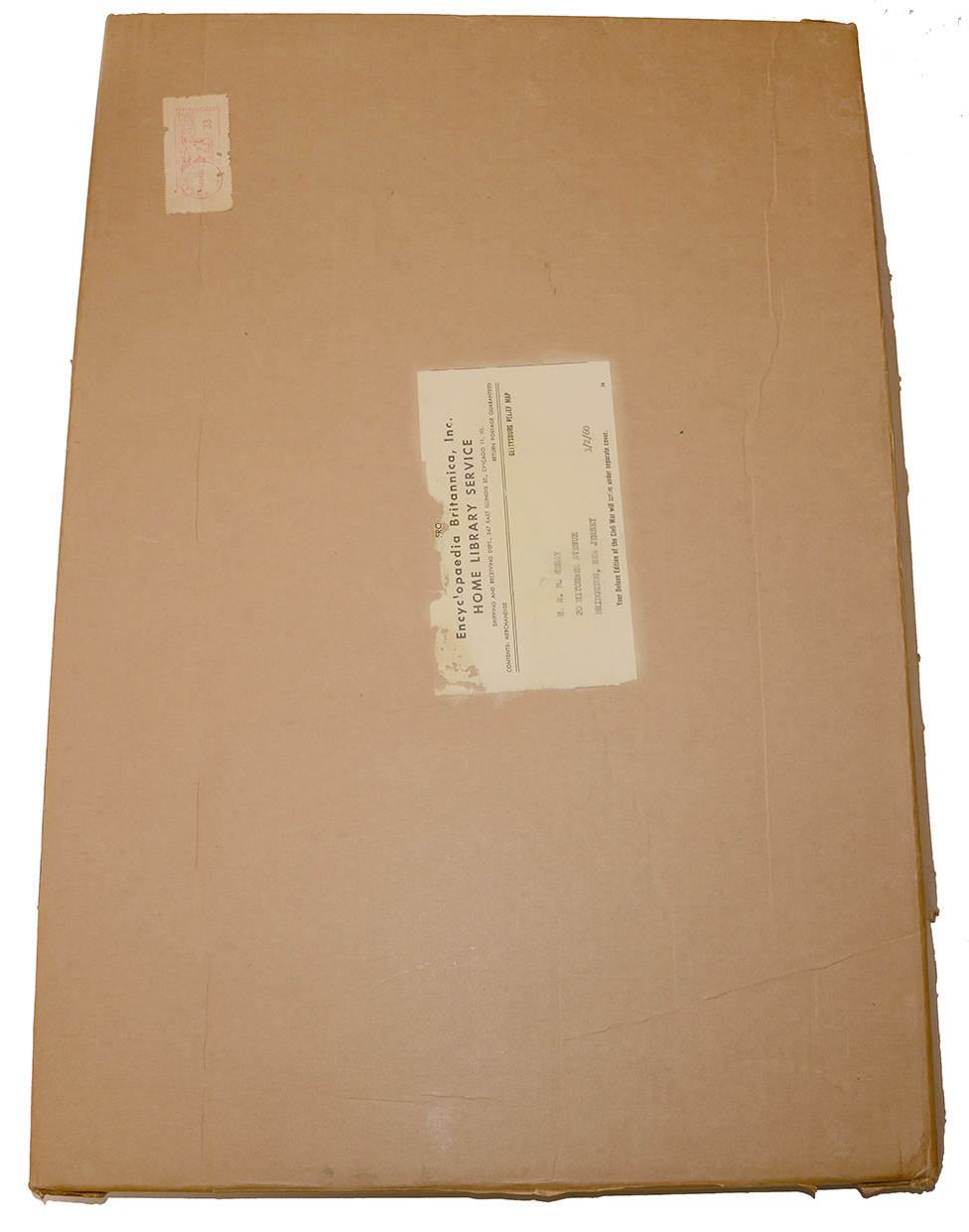
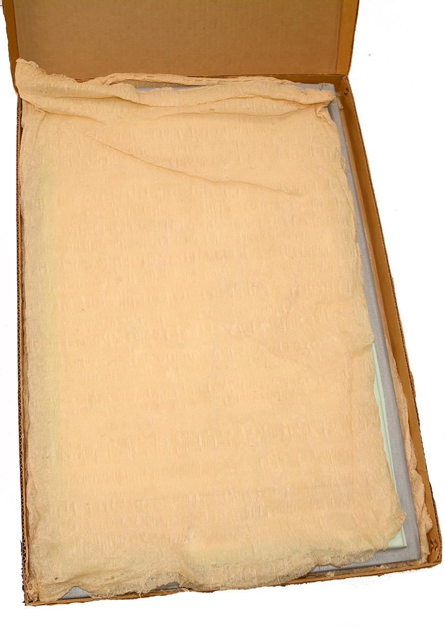
1960 Gettysburg Battlefield 3-D plastic relief map. The topographical map is in the original Encyclopedia Britannica mailing box with packing material. It is postmarked Mar 14, 1960. The map is in like-new condition with no stains, cracks or fading. The map shows Union and Confederate positions, homes, rail lines, wooded areas, hills, roads, etc. Republished in 3-D form by Aero Service Corporation, Philadelphia 20 Pennsylvania and sold by the Haverford Map Company. The map measures 13 ½” wide x 20 ½” high. [DM][ph:L]
~~~~~~~~~~~~~~~~~~~~~~~~~~~~~~~~~~~
THIS ITEM, AS WITH ALL OTHER ITEMS AVAILABLE ON OUR WEB SITE,
MAY BE PURCHASED THROUGH OUR LAYAWAY PROGRAM.
CLICK HERE FOR OUR POLICIES AND TERMS.
THANK YOU!
Inquire About 1960 GETTYSBURG BATTLEFIELD 3-D TOPOGRAPHICAL RELIEF MAP
Most Popular
Historical Firearms Stolen From The National Civil War Museum In Harrisburg, Pa »
Theft From Gravesite Of Gen. John Reynolds »
Selection Of Unframed Prints By Don Troiani »
Fine Condition Brass Infantry Bugle Insignia »
Rare Identified 65Th Ny Sergeant’s Jacket, With Manscript Material: 1St U.s. Chasseurs »
featured item
CIVIL WAR FIELD GEAR OF BENJAMIN F. GOODWIN, 6th MAINE INFANTRY AND 1st MAINE VET. VOLUNTEERS
This group of Civil War soldier’s field gear was brought home by Maine veteran Benjamin Franklin Goodwin, who served in the 6th Corps in the Army of the Potomac and Army of the Shenandoah from 1862 through 1865. The material descended in the family… (2025-3676). Learn More »
site search